Last updated:
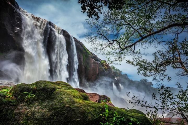
Athirappilly is a village in the Chalakudy taluk of Thrissur district, at the point where the Chalakudy river leaves the Western Ghats forest and spills over a wide rock ledge. The result is Kerala’s largest waterfall: about 80 feet (roughly 24 metres) high but very broad, splitting into several streams that merge into one roaring curtain in the monsoon.
The falls are one of the most photographed places in South India and have appeared in many films, from Dil Se to Baahubali. For travellers from Pondicherry, Athirappilly works best as part of a central Kerala trip, alongside the temple town of Guruvayur, the cultural capital Thrissur and the port city of Kochi.
On this page
What to see at Athirappilly
The main falls
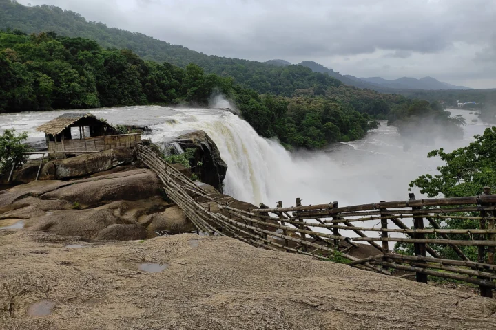
From the entrance, a paved path leads through trees to the top of the falls, where railings let you look along the lip of the ledge. A separate, steeper path drops through the forest to a viewpoint near the base, from where you see the full width of the falls and feel the spray. The walk down is not long, but the climb back is tiring in humid weather, so take it slowly. Our Athirappilly Falls guide covers the paths, timings and tips in detail.
Vazhachal falls
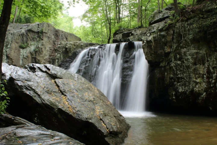
About 5 km upstream along the same road, Vazhachal is a lower, wider series of rapids and cascades running over rock beside the forest. It is calmer to look at than Athirappilly and usually less crowded. The two sites have shared visitor arrangements; entry rules and fees are set by the forest department and change, so check at the counter. Swimming in the river is dangerous here – the current is much stronger than it looks.
The forest road to Valparai
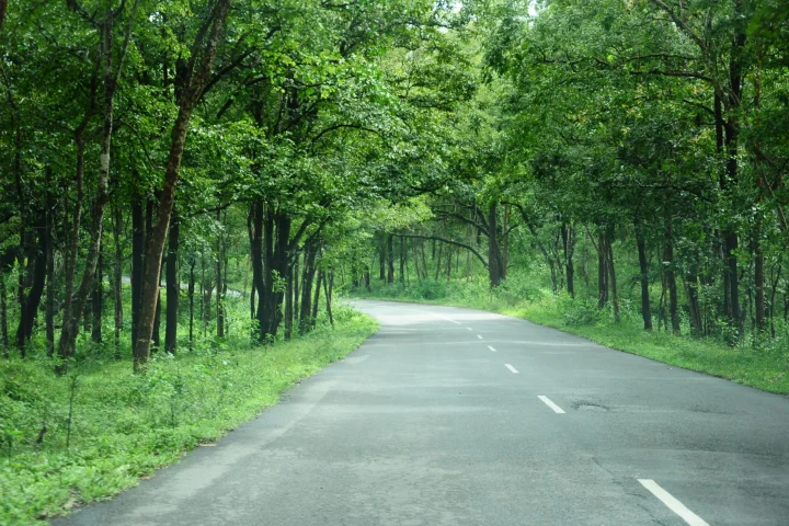
Beyond Vazhachal, the road continues through the forests of the Sholayar ranges and up into the Anamalai hills to Valparai in Tamil Nadu. It is one of the most beautiful drives in the region, with dense forest and a good chance of seeing wildlife, including elephants, by the road. Forest checkposts control traffic and the road is closed at night; timings change, so plan to clear the forest stretch well before dusk.
Wildlife and conservation
The forests of the Vazhachal division around the falls are among the richest in Kerala, with many endangered and endemic species of plants and animals, and the river holds a remarkable diversity of freshwater fish. The area is also home to the Kadar, a forest-dwelling tribal community.
For decades the falls were at the centre of a debate over a proposed hydroelectric dam a few kilometres upstream. In 2011 the Union environment ministry said it would not approve the project, and an expert panel on the Western Ghats listed the Athirappilly–Vazhachal area as ecologically sensitive. Treat the place accordingly: stay on paths, take your litter home and keep noise down.
Best time to visit
The falls are most dramatic during and just after the south-west monsoon, from June to September. In very heavy rain, access to the lower path may be closed and spray can make photography difficult. September to January is a good balance: plenty of water, greener surroundings and more comfortable weather. By March to May the flow drops and the rock face shows through, though the setting is still pleasant. Weekends and Kerala holidays bring large crowds; go early on a weekday if you can.
How to reach Athirappilly from Pondicherry
The road route goes west through Villupuram and Salem to Coimbatore, then over the Palakkad gap into Kerala, on to Thrissur and south to Chalakudy, where you turn east for the last 32 km to the falls. At around 560 km, it is too far for one comfortable day; most people stop overnight around Coimbatore or Palakkad. Interstate permit charges apply when a Tamil Nadu tourist car enters Kerala.
Our Guruvayur, Athirappilly and Kochi tour combines the falls with the Guruvayur temple, Thrissur and Kochi. Kochi is only about 73 km from Athirappilly, so the falls also make an easy day out from there. Travellers heading for Valparai can follow our Coimbatore, Isha and Valparai tour and ask us about adding the forest road down to Athirappilly.
A good day at the falls
- Arrive soon after opening, when the light is soft and the paths are quiet.
- Walk to the top of the falls first, then down to the base viewpoint.
- Drive up to Vazhachal, have lunch, and either return towards Thrissur or continue on the forest road towards Valparai in good time.
Combining Athirappilly with Guruvayur and Thrissur
Athirappilly is about 59 km from Thrissur town, so it fits neatly into a central Kerala circuit. A practical order from Pondicherry is to reach Thrissur, visit Guruvayur for an early-morning temple visit, spend the next day at the falls, and then continue south to Kochi. This keeps daily drives short and gives you a mix of temples, forest and city. If you are visiting in April or May, check the date of Thrissur Pooram, when the city is crowded and hotels fill quickly.
Where to stay
There are resorts and homestays along the road between Chalakudy and Athirappilly, some with river views. Chalakudy, Thrissur and Kochi have more choice. A night near the falls lets you visit early and late, when the crowds are thinner. We can help you pick a stay that suits your plans.
Practical tips
- Wear shoes with good grip; the path to the base is steep and wet.
- Keep children close to the railings – the rock near the edge is slippery.
- Do not enter the river at Athirappilly or Vazhachal.
- Carry a rain cover for cameras and phones in the monsoon.
- Plastic is restricted in the forest area; avoid carrying disposable bottles and wrappers.
Frequently asked questions
How far is Athirappilly from Pondicherry?
About 560 km by road via Salem, Coimbatore, Palakkad and Thrissur. Plan for ten to eleven hours’ driving, ideally split over two days.
How tall is Athirappilly waterfall?
About 80 feet (roughly 24 metres). It is Kerala’s largest waterfall, notable more for its width than its height.
What is the best time to visit Athirappilly falls?
June to September for peak flow, and September to January for a balance of full falls and comfortable weather.
How far is Vazhachal from Athirappilly?
About 5 km upstream on the same road, so most visitors see both on the same trip.
Can I visit Athirappilly on a day trip from Kochi?
Yes. The falls are about 73 km from Kochi, roughly two to two and a half hours by road each way.